Mapping Services
Tagging a mineral asset on ground:
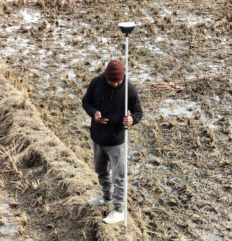
Our capabilities have grown to cater various needs of a mineral asset development though use of Drone, DGPS, Total Stations, Theodolite and Handheld GPS. The survey division caters to four main areas in mineral asset development to include:
a) Asset & mine area boundary establishment
b) Terrain mapping at scales depending on stage of development
c) In exploration for marking stations/bore hole collar locations on ground
d) Mine bench development
Through our services we warrant accurate positioning of features & resources.