Understanding mineral deposit can never be complete without fair know how on the geological setting. Capstone takes immense care to conceive geological plan & understand its complexities and apply most efficient geophysical exploration tools (Magnetic, gravity, Electro Magnetic, Electrical Imaging etc) to assess perceived model of the deposit.
Geology & Geophysical Mapping
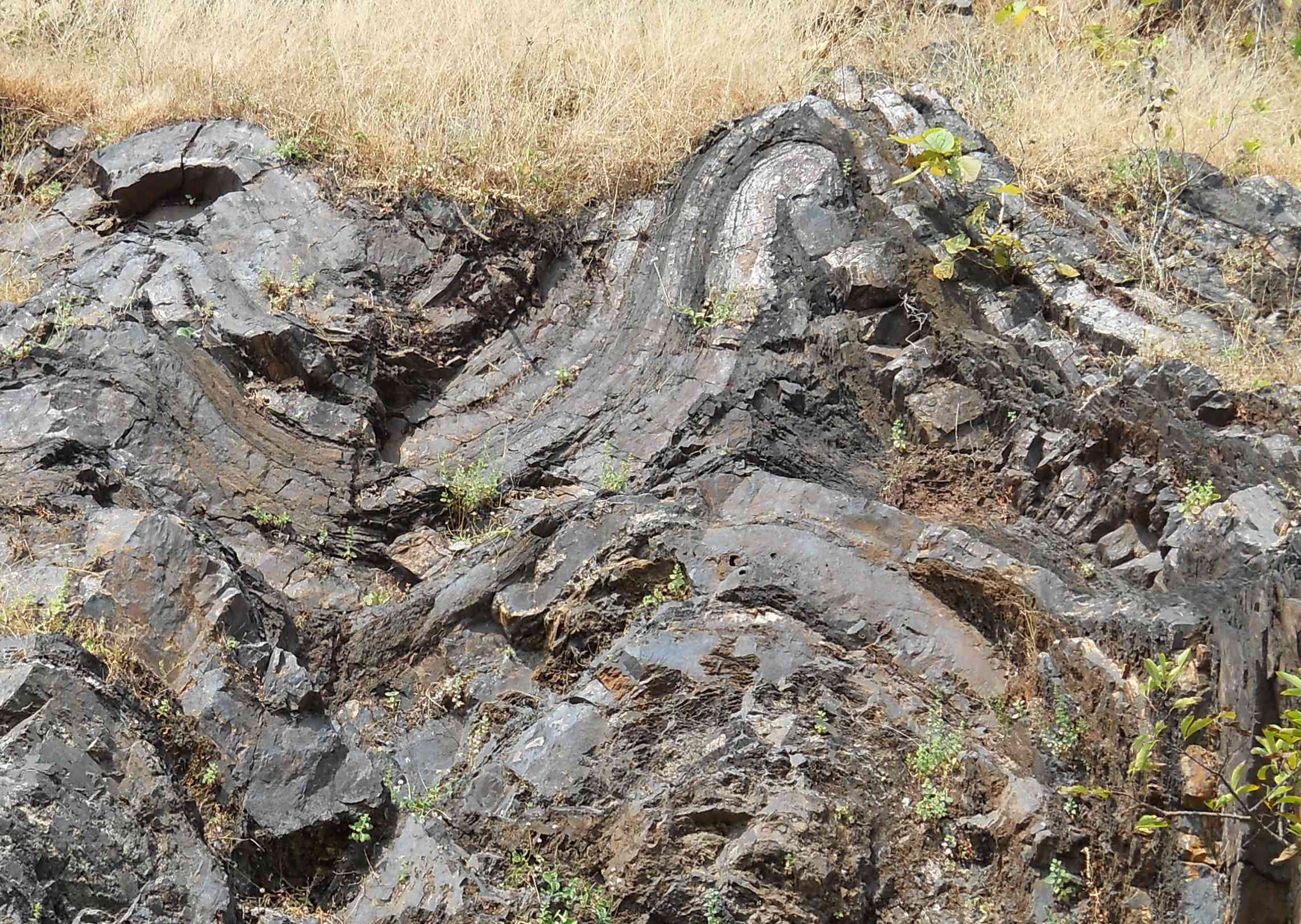
Unravelling geological complexities
Geology & Geophysics is the core to our mineral asset evaluation business. Our knowledge in the subject of geology is greatly enhanced by opportunities we have exploited, spanning more than 27 countries, through ground investigations in different regions across the globe. Our knowledge is further sharpened with advent of new models & concepts in resource evaluations in the most efficient manner using state of art tools.
Our experience spans across different genres of mineral provenance, be it the Limestone & Gypsum in Arabian plate of Oman, the Heavy Mineral Sand of Djibouti & Somaliland, the Iron Ore Copper Gold (IOCG) of Peru, the Birimian Gold deposits in Mauritania, Guinea & Senegal, the Greenstone Gold/Copper belts in Kenya, Tanzania, Zimbabwe, the Copper deposits in DRC, the Nickel deposits of Uganda, Graphite in Tanzania, the Emerald deposits of Zambia, Gold provinces in Southeast Asia including Cambodia & Malaysia, Coal deposit in Zambia, HREE & High Purity Quartz and a host of different bulk mineral, industrial mineral & dimensional provinces across India. Such wealth of experience across diverse geological setting sets an edge to our understanding of the natural settings and efficient way to decipher using geophysical tools & tackles.
Use of geosciences-based assessment becomes paramount in today’s world as we crave for more natural resources to be exploited for human consumption. With ever growing concerns for sustainable development in a fragile environment, geophysics plays the important role in efficient utilization of tools & technique to evaluate a mineral asset. Geophysics renders it possible to look beyond what can be perceived by geologist on the surface. Reaching the targets in the fastest possible way through use of geophysical techniques greatly reduces the efforts required in drilling-based assessment. Use of geophysical technique depend on the commodity concerned; we advocate use of the most tangible approach in delineating resources and evaluate its feasibility for further exploration & development. Available geophysical techniques include Airborne Magnetic & Radiometric (Acquisition, processing & Interpretation), Ground Magnetic, Gravity, 2D Electrical Imaging (Resistivity & Induced Polarization), Ground Penetrating Radar (GPR), Electrical Sounding & Profiling, Self-Potential (SP), Time Domain Electromagnetic (TEM), High Resolution Seismic Survey (HRSS) etc. Engaging highly sensitive equipment render it possible to detect subtle variations in responses of sub-surface material, which forms basis for crucial information about depth of mineralization, shape of the mineralized body & extend of mineralization pockets; it provides important clue to plan the drilling targets & depth of exploration.